All Along the Watershed
A photographic exploration of the Wiltshire Watershed
This project follows the watershed in Wiltshire, the invisible line in the landscape that divides the rains into different river basins. It's a line that is literally as old as the hills and links the high spots of the county. From early neolithic days right to the present day, human beings have made and are making their marks on this landscape. More information about the project is below.
The work was shown in July 2017 at Marlborough Open Studios and in August at the White Horse Gallery in Marlborough, Wiltshire. The image On King's Play Hill featured in the RPS Biennial Show, which toured the country in 2017, and at the Royal West of England Academy show in Bristol in late 2017.
There’s a map of the watershed in Wiltshire at the bottom of the page.
Images are for sale in various sizes - please contact me here.
Greetings cards for many of these images are available from here.
I have also produced a book and this can be previewed here.

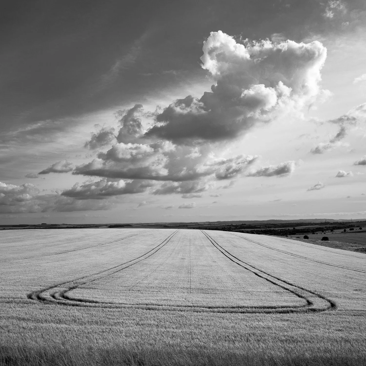


During 2016/7 I explored an invisible line in the landscape. The watershed snakes along the ridges of Wiltshire for 53 miles and divides the rains into different river catchments which then feed into the seas. These streams flow west via the Bristol Avon into the Severn, east via the Rivers Kennet and Thames into the North Sea and south via the Hampshire Avon and River Test into the English Channel. There is one point just north of Devizes, unique in England and Wales where the rains divide into three catchments which feed seas in different cardinal directions.
The watershed passes through the highest point in Wiltshire (Milk Hill at 294m). There are 9 trig points along the way and it crosses the summit level of the Kennet and Avon canal and the disused Wilts and Berks canal. There are many interesting features – white horses, Neolithic and Anglo Saxon earthworks, disused railway lines, long distance paths, monuments, reservoirs, a few villages and one civil war battle site.
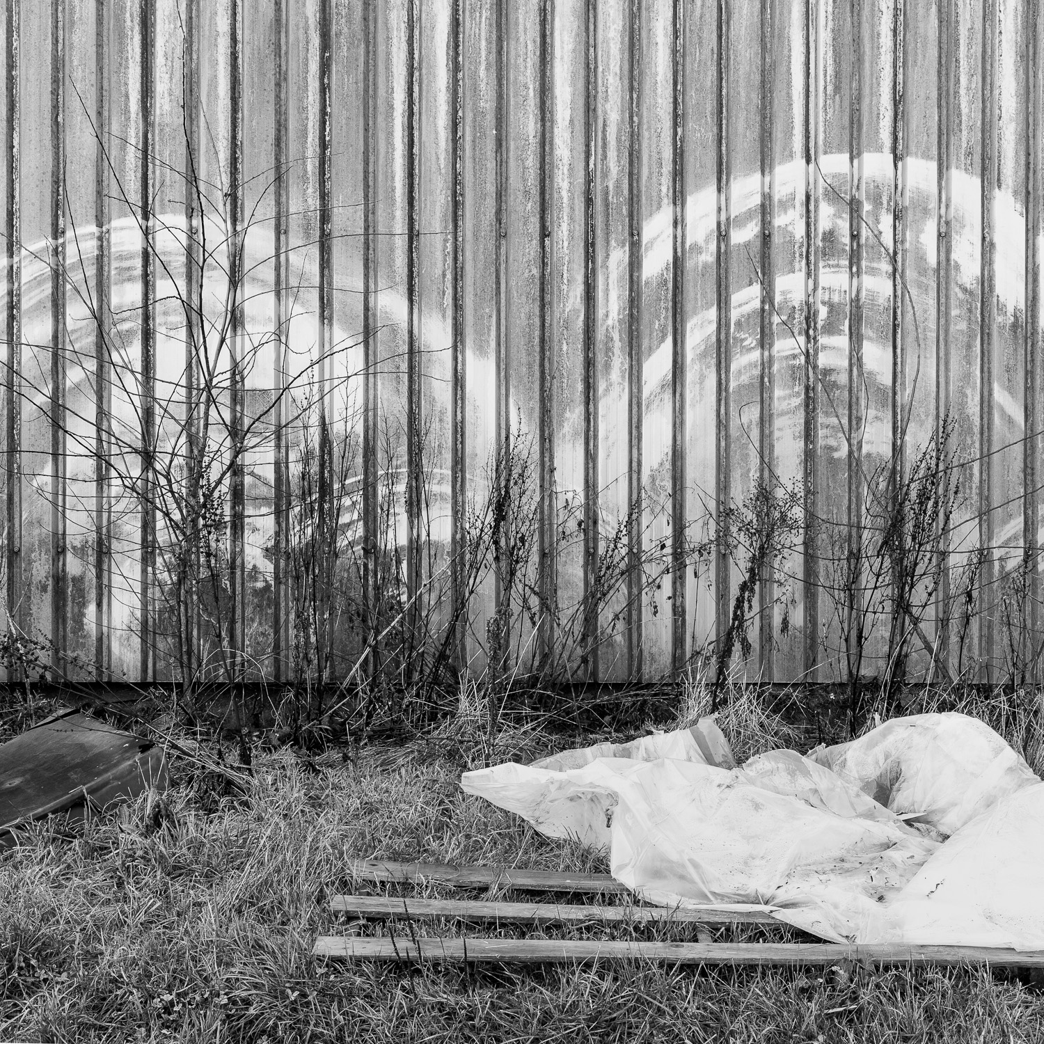
The project is an interpretation of the natural landscape and the impact of humankind upon it. It’s an extraordinary landscape rich in beauty and evidence of human history and endeavour from early Neolithic days right to the present day. Every inch has been used for settlements, communications, farming and leisure and many landmarks have been created. The images themselves are square in format and in black and white, a very traditional format used in medium format cameras. Although the pictures are all taken on a modern digital camera, the images are framed from the outset as square and little manipulation is done in the processing.
Many people are unaware about watersheds and I hope this work will cause them to look at the landscape in a new way.